
Flight turbulence can be very unnerving, even for seasoned pilots. However, turbulence is part of every pilot’s experience. Turbulence can be caused by irregular air motion that the aircraft is flying through.
To pilots and passengers, it feels like a bump in the road. While most turbulence is just an inconvenience, it can be dangerous in certain conditions. Turbulence is caused by thunderstorms, air masses, or other aircraft.
Turbulence can vary from a minor choppy motion to enough that the aircraft is rendered uncontrollable. So, where exactly does turbulence come from, and how can you better predict where it will be?
As a new student pilot your first encounter with turbulence can be a bit unnerving. Gaining an understanding of turbulence is a good initial step but you’ll also need to lean on your flight instructor as you learn to keep the aircraft under control in flight.
What Causes Turbulence?
By scientific definition, the air in the atmosphere is a fluid–it conforms to the shape of its container. And air moves around, like other fluids you might think of covering the Earth (water, for example). It flows in currents, and it bounces off of objects and swirls and eddies. It can move up and down or from side to side.
This is hard to visualize. After all, we can’t see the air or the wind. It helps to imagine the atmosphere as an ocean or a river.
Like water in a river, if the wind hits a mountain and is forced up, it will begin flowing in a wave-like pattern downstream.
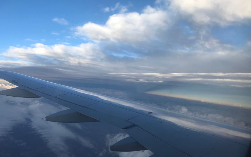
In fact, the more you start looking, the more similarities you will see. For example, many clouds have smooth, wave-like structures.
And when visualizing the way the wind flows around a hill or a building, it’s easier to see how air is doing the same thing as water.
So, what is turbulence?
It’s the bumps you feel in an aircraft when you fly through those places in the air where things are changing. Turbulence is the bumps you feel as you pass over the waves and ripples in the atmosphere.
Specific Examples and Types of Turbulence
Turbulence is nothing more than a sudden change in the direction or the speed of the wind–a wave in the ocean if you will. With that in mind, there are three causes of turbulence in the air.
- Convection (air moving up and down)
- Mechanical (objects interrupting smooth airflow)
- Wind shear (areas where the wind is changing direction suddenly)
Convective Turbulence
All weather can trace its roots to the sun heating the planet’s surface unevenly.
As the sun warms areas that absorb heat well, like landmasses, the air rises. As it climbs in the atmosphere, it cools and pushes other air out of its way.
This sets up a convective current with rising air in one area and sinking, cooler air in another.
If this is happening in a localized area, the rising air is sometimes called a thermal. As the aircraft flies through it, you might feel a bump, and the aircraft will try to climb with the air.
Once out of the thermal, another bump and the aircraft will start sinking in the cooler air.
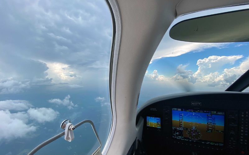
This convective turbulence is quite common on summer days in warm conditions. Puffy “fair-weather cumulus” clouds often form on the rising air currents. Glider pilots make an art of seeking out the rising thermals to gain altitude.
If you’re sick of getting jostled around, climb higher. Convective turbulence usually does not go much more than 3,000 feet AGL.
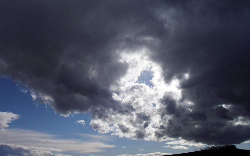
Thunderstorm Turbulence
Like all good things, convection can get a little out of hand from time to time. A thunderstorm is a convective current that has built itself into a powerful force of nature.
Inside a thunderstorm, convective currents are churning through the atmosphere at fierce speeds. Thunderstorms can have updrafts that can shoot 40,000 feet up in the atmosphere in just a few minutes, and that air comes down just as fast.
As a result, the turbulence inside a thunderstorm can be extremely intense and dangerous.
As these convective currents spread away from the cloud, they create other bumps in the atmosphere.
Where the downdraft hits the surface, a gust front of strong winds pushes ahead of the clouds and storms. All around the cloud, you can expect seriously bumpy conditions. Small aircraft should give thunderstorms and towering cumulus clouds a wide berth.
Many of the severe turbulence associated with thunderstorms have names and dangers all to themselves. Microbursts and tornadoes are two examples.
Mechanical Turbulence
Mechanical turbulence occurs anytime another object interrupts the air’s normal flow. For example, the wind could be blowing across the surface at a steady speed and direction.
This would not produce a rough ride.
But if the terrain were anything other than completely flat, it would affect the air flowing above it. A hill, or a large building, will interrupt the airflow and create a burble, like a rock in a flowing river.
The air will lift up above the object and sink behind it, as it will also wrap around its backside and create eddies.
Mechanical turbulence is caused by friction between the air and the ground.
All of these sudden changes in the airflow downstream will be felt as turbulence in the plane. Mechanical turbulence is most noticeable at airports that have big hangers or lines of trees on one side. On windy days, approaches and departures can be bumpy.
Mechanical turbulence can happen anywhere, but it will usually be at low altitudes.
Mountain Wave Turbulence
A good example of mechanical turbulence is mountain wave turbulence. This is caused by wind flowing over mountains and can be felt miles away from the mountains. It can occur in clear air, with no other indications of bumps ahead.
Wind Shear Turbulence
Wind shear is defined as anytime the wind suddenly shifts direction or speed.
For example, if an aircraft is climbing from calm winds on the surface and enters strong winds aloft, it will encounter some turbulence due to wind shear.
Frontal Turbulence
Some major weather systems can bring with them significant wind shear and turbulence.
For example, cold fronts, as the cold air mass pushes across the countryside, force warmer air aloft with intensity.
A fast-moving cold front can create some of Earth’s most powerful weather systems, like squall line thunderstorms. This amount of atmospheric movement can also cause serious turbulence.
Clear Air Turbulence
Jet stream winds cause clear air turbulence. This is a risk when operating above 15,000 feet MSL.
It results from the sudden change in direction or velocity of the winds near the jet stream. In other words, it is a form of wind shear.
Wake Turbulence
Of course, man can make turbulence, too. For example, jet engines produce jet blast, which could be considered severe turbulence.
But more worrying is wake turbulence formed by airplane wings while generating lift.
Wake turbulence can be one of the more dangerous types of turbulence.
When a large aircraft creates wingtip vortices, these vortices create wake turbulence. These vortices remain for up to three minutes after the aircraft has passed.
The biggest wake turbulence occurs when the aircraft is heavy, clean, and slow. Therefore, aircraft should exercise care when operating at airports with heavy aircraft taking off or landing.
Air traffic control may alert you if you are operating near an aircraft capable of producing wake turbulence.
Where Can You Find Information on Turbulence?
Despite its effects on every type of flying, finding specific information regarding turbulence in weather briefs can be tricky.
It’s one of the most unpredictable weather phenomena that pilots must deal with. Since it cannot be observed from the ground, the only reports are PIREPS. In addition, AIRMET Tango is issued four times daily and reports moderate or greater turbulence areas.
Ranking Turbulence
Turbulence is ranked on a somewhat subjective scale of severity.
- Light–momentary bumpiness, slight erratic changes in altitude or attitude
- Moderate–changes in altitude or attitude, but the aircraft is in control at all times
- Severe–large and abrupt changes in attitude/altitude when the aircraft is momentarily out of control
- Extreme–violent tossing and impossible to control, risk of structural damage
- Chop–(i.e., light chop, moderate chop) a rapid and rhythmic bumpiness
AIRMET Tango
AIRMET Tango is one of three regularly issued AIRMETs, and it specifically deals with turbulence and winds. AIRMET Tango is your source for information about–
- Moderate or greater turbulence
- Sustained surface winds in excess of 30 knots
- Non-convective low-level wind shear
You can see a Graphical AIRMET (g-AIRMET) at Aviation Weather Center.
Low-Level Wind shear
Around airports, all of these items can create a phenomenon known as low-level wind shear. It is simply the presence of turbulence near the approach to an airport that a pilot should know about. It is often reported on ATIS and METAR reports.
Low-level wind shear (LLWS) could come from convective activity, like thunderstorm downdrafts or microbursts, or it could come from non-convective sources, like mechanical turbulence or gusty conditions.
To be reported on a METAR, LLWS will include a gain or loss of more than 10 knots on approach to an airport.
The three primary types of turbulence–convective, mechanical, and wind sheer–are discussed in more detail in the FAA’s Aviation Weather AC00-6B. You can also find more information at weather.gov.